Iran’s DM Inaugurates Major Geography Projects
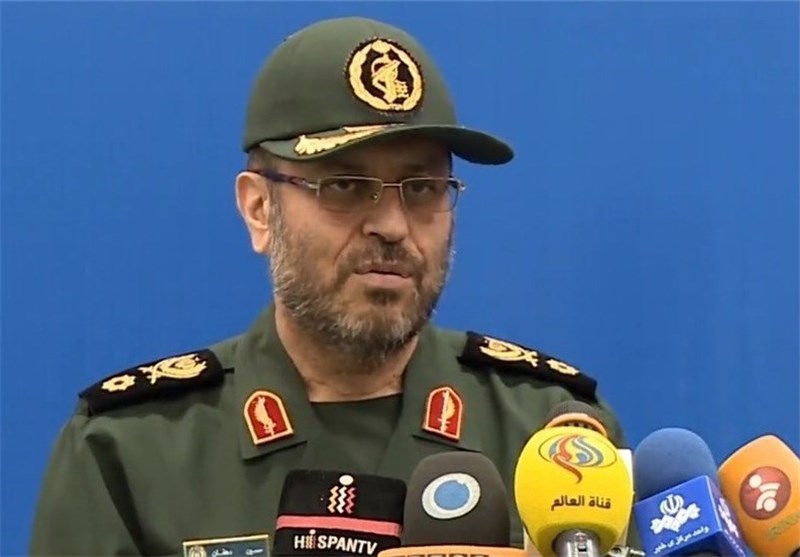
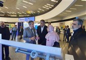
TEHRAN (Tasnim) – Iranian Defense Minister Brigadier General Hossein Dehqan on Sunday inaugurated seven national projects developed by the ministry in the field of geography.
In a ceremony on Sunday, the national projects developed by the Iranian Geographical Organization of Armed Forces came into operation as Iran is holding the Ten-Day Fajr (Dawn) celebrations, marking the anniversary of the 1979 Islamic Revolution.
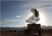
The projects that became operational include a remote sensing lab, first homegrown unmanned vessel for hydrographic surveys dubbed “Dawn 1”, and the production line of a new generation of electronic sea maps.
Speaking at the ceremony, Brigadier General Hossein Dehqan praised the achievements, saying that they have been made through the efforts of the country’s scientists and experts at the Iranian Geographical Organization of Armed Forces.
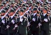
Iranian military experts and technicians have in recent years made great headways in manufacturing a broad range of indigenous equipment, making the armed forces self-sufficient in the arms sphere.
Tehran has always assured other nations that its military might poses no threat to the regional countries, saying that the Islamic Republic’s defense doctrine is entirely based on deterrence.